Routes that survive GPS jamming zones
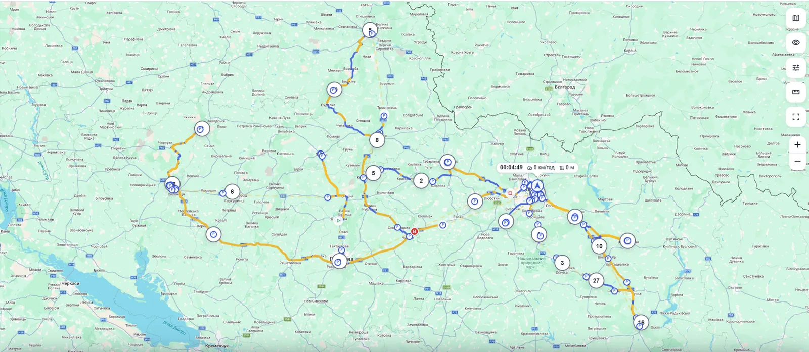
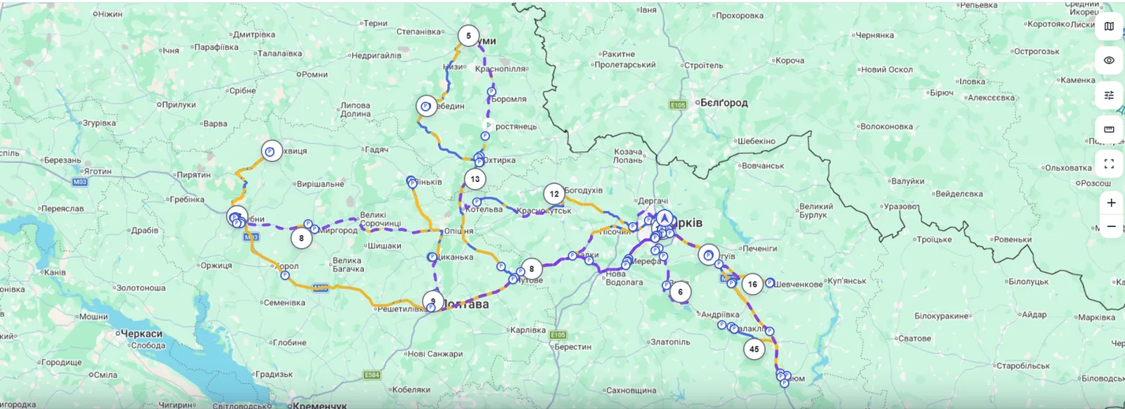
Under jamming, a track turns into a tangle of circles or a straight line across half a region. cloudGPS recovers the actual path from the CAN odometer and the road graph — with true speed in the playback.
How it works
GPS can be jammed. Wheels cannot: the CAN-bus odometer keeps honestly counting every meter.
The track breaks
In a jamming zone coordinates turn into circles or freeze. The platform marks such points as untrusted — they are excluded from speed and geofence verdicts.
CAN keeps counting
The odometer and speed from the vehicle CAN bus are recorded the whole time — jamming cannot touch them. The distance travelled is known to within a few hundred meters.
Matched against the road graph
Once the vehicle leaves the jamming zone, the platform builds route candidates between the last and first trusted points and picks the one that matches the CAN odometer.
The gap heals
Minutes later the map shows a dashed route along real roads marked “recovered”, with true speed in the playback and a continuous chart.
An honest system, not “drawing over”
A recovered route is a hypothesis confirmed by the odometer. We present it honestly.
visibilityClearly marked
Recovered segments are dashed and labeled “Route recovered”, including in public track links. Nobody will mistake them for GPS facts.
gavelNo verdicts for drivers
Recovered points never feed speeding, geofence or penalty reports. The playback speed is real — straight from CAN.
blockRefusal instead of fiction
If no route matches the odometer (field loops, dirt roads off the map) — the platform keeps the gap. No fantasies.
The key requirement — a CAN connection
A power-only GPS tracker goes completely blind in a jamming zone: without an odometer only a weak fallback remains — a route inferred from elapsed time and the road graph: it rescues roughly one gap in six and is labelled approximate. For integrators this is the strongest argument to sell CAN-bus installations — especially to fleets operating near the front line.
Show your clients tracks that survive jamming
The feature is already live in production for the whole fleet — 20,000+ devices.